
Review · ATACAMA
From San Pedro de Atacama: The Salt Flats Route, Full Day
High plateau salts, rock statues, and flamingos, make this full day feel like a nature and geology class in the best way. I like the Licancábur detour for those big-volcano views, and I also like the stop-and-stare sections around Pakana formations and the salt lagoons with flamingos.
One key thing to plan for: there are no toilets available along the whole way, and the cold wind at altitude can be sharp.
In This Review
- Quick hits before you go
- A full-day high plateau circuit from San Pedro de Atacama
- 08:00 departure to Paso de Jama, with panoramic first views
- The Licancábur detour at Hito Cajón Norte (around 4,200 m)
- High plateau stretches: ostriches, small lakes, and the bird game
- Farellón de Tara and Moai de Tara, the Pakana Witness
- Pakana Cathedrals and Salar de Tara at 4,500 m
- Guide quality, language, and what it means for your day
- Price and value: what $78 buys you in 6 hours
- Cold wind, long stretches, and the one logistics issue to plan around
- Who this Salt Flats Route suits best
- Should you book the Salt Flats Route (Full Day)?
- FAQ
- What time does the Salt Flats Route tour depart?
- How long is the tour?
- What is included in the price?
- Are entrance fees included?
- What languages does the guide speak?
- Does the route go toward Paso de Jama and border control?
- Will I see flamingos?
- Are there toilets available during the tour?
- What is the biggest altitude mentioned during the day?
Quick hits before you go
- Paso de Jama route with border control and a steady climb through lava and ash country
- Licancábur viewpoint detour (Hito Cajón Norte) where you get framed volcano views around 4,200 m
- Ostriches are commonly seen in the high-mountain stretches
- Flamingo lagoons near 3,900 to 4,500 m plus other birds around the salt flats
- Farellón de Tara and Moai de Tara (Pakana Witness) rock columns tied to Tertiary volcanic violence
- Salar de Tara at 4,500 m with an ecosystem built around the salt lake
Other ways out of San Pedro into the desert
- San Pedro de Atacama: El Tatio Geysers Tour
★ 4.7 · 943 reviews - San Pedro de Atacama: Etno-Stargazing Tour with Transfer
★ 4.8 · 629 reviews - San Pedro de Atacama: Stargazing Experience
★ 4.7 · 489 reviews - San Pedro Atacama: Baltinache Lagoons
★ 4.6 · 359 reviews
A full-day high plateau circuit from San Pedro de Atacama
This is a 6-hour, guided loop that focuses on the high plateau between San Pedro de Atacama and the Chilean border area. You are not just driving past scenery. You stop often, including at viewpoint moments and photo angles, then finish at the salt lake areas where you can look for flamingos chilensis and other birds.
The value here is the mix of geology and wildlife. Licancábur gives you that dramatic anchor at altitude, while the Pakana and Tara rock formations provide a second layer of wonder that feels very Atacama. Add breakfast and a snack, and you can make this day without needing to constantly hunt for food.
The big reality check: the route runs in exposed, windy conditions, and facilities are limited. If you come dressed for comfort, the day feels easy. If you do not, the cold wind and long stretches can wear you down.
08:00 departure to Paso de Jama, with panoramic first views
The day starts at 08:00 with pickup and shared transport from San Pedro de Atacama. You head toward Paso de Jama and go through Chilean border control as part of the route. The road climbs at a constant slope, and you pass terrain described as formed by lava and ashes, so the drive already sets the theme: this is volcanic country.
Before you reach the higher detours, there are stops designed for wide views. You pause to admire the panoramic view of the Salar de Atacama and the Oasis of San Pedro de Atacama. This is a good warm-up, because it gives your brain a reference point: salt flats on one side, human-scale oasis greenery on the other.
Why that first part matters: when you eventually stand near the salt lagoons and rock structures, you will understand where you are in the broader system. Without those early viewpoints, the day can feel like a series of isolated stops. With them, the route reads like one big landscape story.
The Licancábur detour at Hito Cajón Norte (around 4,200 m)
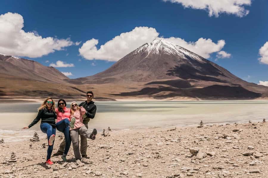
At km 41 and about 4,200 m, the route includes a detour to Hito Cajón Norte for a Licancábur viewpoint. The volcano sits at 5,916 m, and the stop is timed for you to actually appreciate the scale rather than just glimpse it through a window.
This is one of the parts I would prioritize, because it turns the day from driving into a true highlight. The climb to high altitude viewpoints gives you that clean, steep perspective that the Atacama is famous for, and Licancábur becomes the visual landmark for the rest of the route.
Practical note: even if the sun is bright, wind can cool you fast at these elevations. Bring layers you can pull on quickly. If you only rely on a light jacket, you may regret it once the stops turn into long standstills.
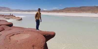
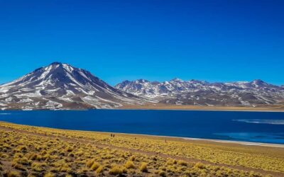
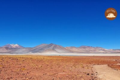
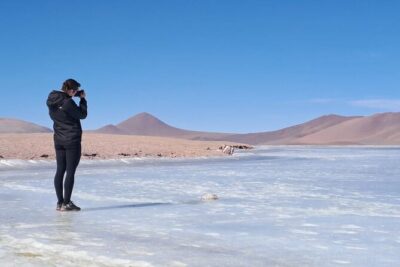
More high lagoons, red rock and salt flat, compared
High plateau stretches: ostriches, small lakes, and the bird game
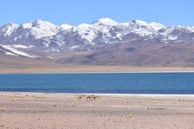
After the Licancábur viewpoint, the route continues through high mountains. One of the most charming details here is that groups of ostriches are commonly found along the way. If you like wildlife moments, this is a nice change from only rocks and salt.
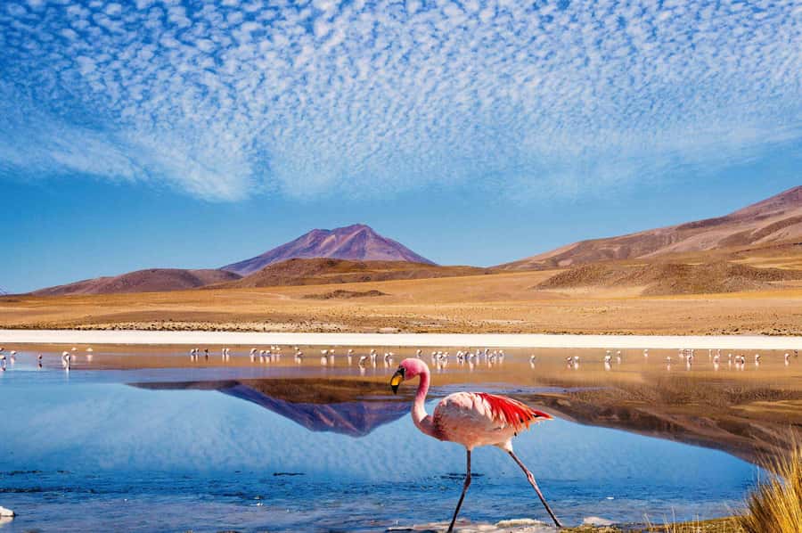
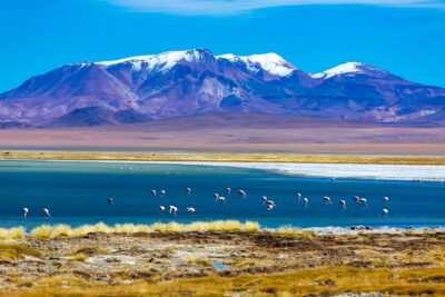
At km 75, you reach small lakes where flamingos and other birds live. The idea is simple but effective: these are not giant salt flats only meant for photos. They are ecological spots where you can scan for bird activity as you move and stop.
Then, around km 91, the route passes through the hills of Pakana. This section helps set you up for the Tara stops that follow. You start to see the rock language of the day, so when the formations start appearing in a more organized, sculptural way, it will make more sense to your eye.
For readers: if you want great photos, give yourself time to look away from your camera screen. The birds and flamingos can move, and the best moments sometimes happen during a pause while you are still watching.
Farellón de Tara and Moai de Tara, the Pakana Witness
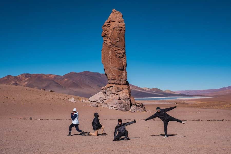
One of the more memorable segments is around Farellón de Tara, described as a rock wall carved with sculptures. You then continue to an esplanade where you can see Moai de Tara, also known as the Pakana Witness. These are columns of rock formations preserved through geological time, presented as evidence of violent volcanic events during the Tertiary period.
This stop is not just impressive because it looks strange. It is impressive because it gives you a specific explanation for why the rocks look the way they do. If you like understanding what you are seeing, this is the right kind of roadside wonder. It turns the scenery into a story you can repeat to friends later.
How to enjoy it: slow down. Walk the viewing area, look for the shape from different angles, then take a photo only after you found the best perspective. In a place like this, one camera position can make the columns look like random rocks. Another position can make them feel like a set of standing figures.
Also, the wind can be intense in open esplanades. Dress for standing outside, not for quick look-and-go.
Pakana Cathedrals and Salar de Tara at 4,500 m
After Farellón de Tara and Moai de Tara, you get a panoramic view of the Pakana Cathedrals. The name is poetic, but the value is that it signals scale and structure. You are seeing rock formations that read like architecture, which is exactly what makes the Pakana area so photogenic.
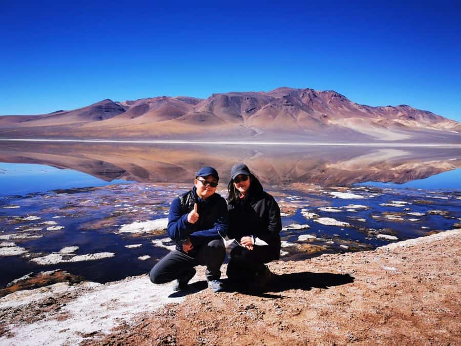
From there, the route arrives at Salar de Tara at about 4,500 m. This is the salt lake section, with a unique ecosystem built around the salt flats. The presence of numerous highlights (most notably flamingos chilensis) is common, and you are in the right place to scan the waterline and nearby zones for bird activity.
Why I think this ending matters: it saves the best wildlife and the salt ecosystem for the final portion, once you have warmed your attention. Earlier stops explain the volcanic and sculptural setting, so when you finally reach Salar de Tara, you can appreciate the living system instead of treating it like just another photo stop.
Bring a warm layer for this last segment. Standing still at 4,500 m with wind can turn a pleasant stop into a chilly one fast, even if the day started sunny.
Guide quality, language, and what it means for your day
This is a bilingual tour in Spanish and English, which makes a big difference in a place like Atacama where details matter. You are not only learning place names. You are getting explanations for the rock features and the route logic that connect the stops.
One review highlights a guide named Marta as exceptional, and that checks out with what the day requires. To make this route feel worth the money, the guide has to keep the pacing smooth, point out wildlife without rushing, and give context so the stops land.
If you are traveling with a partner or with mixed language comfort, bilingual guidance is a strong value. You do not have to choose between missing the story and missing the views.
Price and value: what $78 buys you in 6 hours
At $78 per person for a 6-hour guided experience, you are paying for three things: shared transport plus pickup, a bilingual guide, and food support. Breakfast and a snack are included, which helps you stay focused on the day instead of figuring out where to eat before and during long cold stretches.
Entrance fees are not included, but the tour data does not specify any particular fees. So you should assume that the main cost is built around guiding, driving the route, and including food. In a remote area where you cannot easily “wing it” on your own without navigating timing and high-altitude road conditions, the guided piece is the value driver.
For readers weighing cost: if you want a full day that hits both Licancábur and the Pakana/Tara rock structures, plus a salt-lake wildlife scan, this price often feels fair. If you hate early starts, cold wind, and long stretches with no bathroom stops, you may decide the day is not worth it even if the sights are great.
Cold wind, long stretches, and the one logistics issue to plan around
The most practical drawback is simple and non-negotiable: there are no toilets available along the whole way. If you only remember that at the last minute, you will feel stressed. Build a routine before pickup, drink earlier rather than constantly during the drive, and do not count on a roadside stop to fix it.
Cold winds are another real-world consideration. You can have clear skies and still feel uncomfortable when the air strips warmth away. Wear a hat, bring gloves, and use layers you can adjust when you move and when you stand still.
Finally, pay attention to the meeting point instructions when you book. One booking experience noted that the directions to the exact pickup point were unclear, and it can ruin your morning even if everything else goes well. If anything in the confirmation feels vague, confirm it before departure so you are not improvising in a high-desert setting.
Who this Salt Flats Route suits best
This tour is a great fit if you want a guided day that mixes big altitude views with specific rock formations and a wildlife scan around salt lakes. If you enjoy understanding geology as you walk around at stops, you will probably have a good time here.
It is also a solid choice for people who want to see multiple named places in one day without worrying about route planning between San Pedro de Atacama and the Paso de Jama area. Shared transport keeps cost lower than private options, and the guide helps you stay oriented.
If you have a strong need for frequent restroom access, this is the wrong kind of outing, because the route has no toilets along the way. If you are sensitive to cold wind outdoors, you will want to come prepared with proper layers.
Should you book the Salt Flats Route (Full Day)?
Book it if you want a structured 6-hour day that hits Licancábur, the Pakana and Tara rock formations like Moai de Tara and Pakana Cathedrals, and ends at Salar de Tara where flamingos chilensis are commonly seen. The included breakfast and snack add real comfort, and the Spanish and English guiding makes the explanations useful instead of just scenic.
Skip or think twice if the lack of toilets would stress you out, or if you know you struggle in exposed windy outdoor conditions. Also, double-check the pickup details in advance, so you are not dealing with unclear directions at 08:00.
FAQ
What time does the Salt Flats Route tour depart?
The tour departs at 08:00 from San Pedro de Atacama.
How long is the tour?
The duration is 6 hours.
What is included in the price?
Pickup by shared transport, a bilingual guide (Spanish and English), and breakfast plus a snack are included.
Are entrance fees included?
No. Entrance fees are not included.
What languages does the guide speak?
The guide speaks Spanish and English.
Does the route go toward Paso de Jama and border control?
Yes. The route uses Paso de Jama and includes Chilean border control.
Will I see flamingos?
Yes. You can see flamingos, including flamingos chilensis, around the small lakes and at Salar de Tara.
Are there toilets available during the tour?
No toilets are available along the whole way.
What is the biggest altitude mentioned during the day?
Salar de Tara is reached at around 4,500 m, and the Licancábur viewpoint is tied to a 5,916 m volcano detour at about 4,200 m.
Everything Else We Have Reviewed In Chile
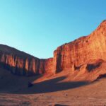
High Lagoons, Red Rock And Salt Flat
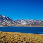
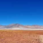
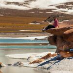
Out Of San Pedro Again
Not quite it? Here is the rest of what we have reviewed around Chile

More in San Pedro de Atacama Tours.
 ★ 4.7El Tatio Geysers TourFrom $70943 reviews
 ★ 4.8Etno-Stargazing Tour with TransferFrom $41629 reviews
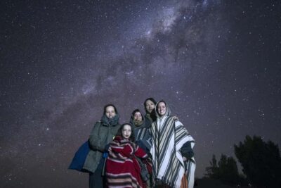 ★ 4.7Stargazing ExperienceFrom $35489 reviews
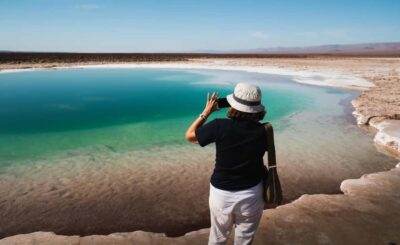 ★ 4.6Baltinache LagoonsFrom $70359 reviews
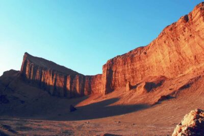 ★ 4.4Valle de la Luna Guided TourFrom $63312 reviews
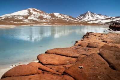 ★ 4.63-Day Activity Combo with 4 ToursFrom $233247 reviews
 ★ 4.5Valle de la Luna (Moon Valley) from San Pedro de AtacamaFrom $47145 reviews
 ★ 4.5Astronomical Tour with Guide and Pick Up San Pedro de AtacamaFrom $38145 reviews
Browse the lists this tour appears in